A first day in Paris on foot: a printable route
A walking day for a first visit to Paris: bakery breakfast, the Eiffel Tower, the Seine quays, the Île de la Cité and the Marais, with a route map and plan to print.
Start with breakfast in the 7th arrondissement, see the Eiffel Tower before the queues, follow the river east to the Île de la Cité and finish in the Marais. About 9 km of flat walking, or less if you take one train.
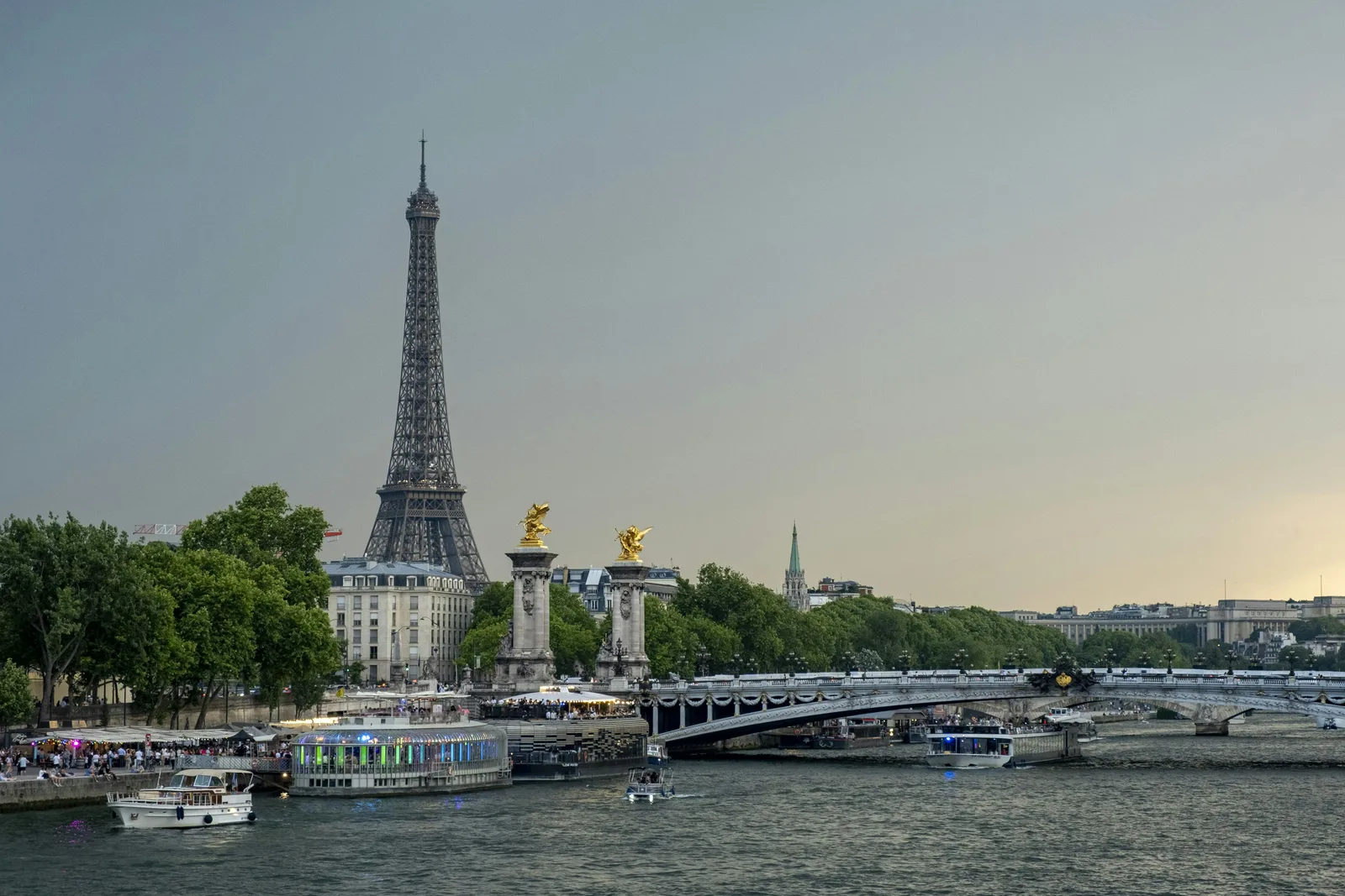
One day on foot
Paris, west to east along the Seine
- Time
- 8.30 am to 4 pm
- Walking
- About 9 km, flat
- Best for
- A first visit
- Cost
- Free, apart from food
- Book ahead
- Only to go up the tower
- Avoid
- Mondays, for the Marais
The route and the plan
Your day, stop by stop
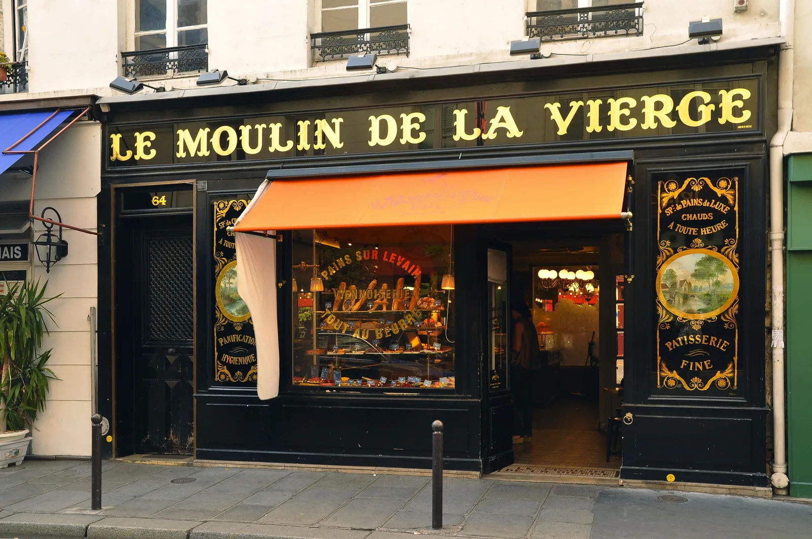
- 1Breakfast on rue Saint-Dominique
A croissant and a coffee standing at the counter costs less than sitting down. Buy a sandwich for later while you are there.
then 600 m, 8 min on foot📍Take me thereGoogle MapsApple Maps - 2Champ de Mars and the Eiffel Tower
The lawn gives the classic view for nothing. Going up needs a timed ticket: book on the official site, weeks ahead in summer.
then 5 km along the quays, about 65 min on foot, or 10 min by RER C📍Take me thereGoogle MapsApple Maps - 3Pont Neuf and the Île de la Cité
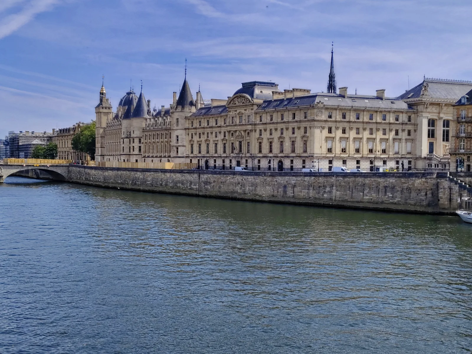
Cross the oldest bridge in Paris and walk round the island past the Conciergerie and Notre-Dame. Eat your sandwich on the tip of the island, the Square du Vert-Galant.
then 2.9 km round the island and over the river, 40 min on foot📍Take me thereGoogle MapsApple Maps - 4Lunch in the Marais
Narrow streets, falafel counters on rue des Rosiers and bistros with a fixed-price lunch. Many shops here open on Sunday and close on Monday.
then 600 m, 8 min on foot📍Take me thereGoogle MapsApple Maps - 5Place des Vosges
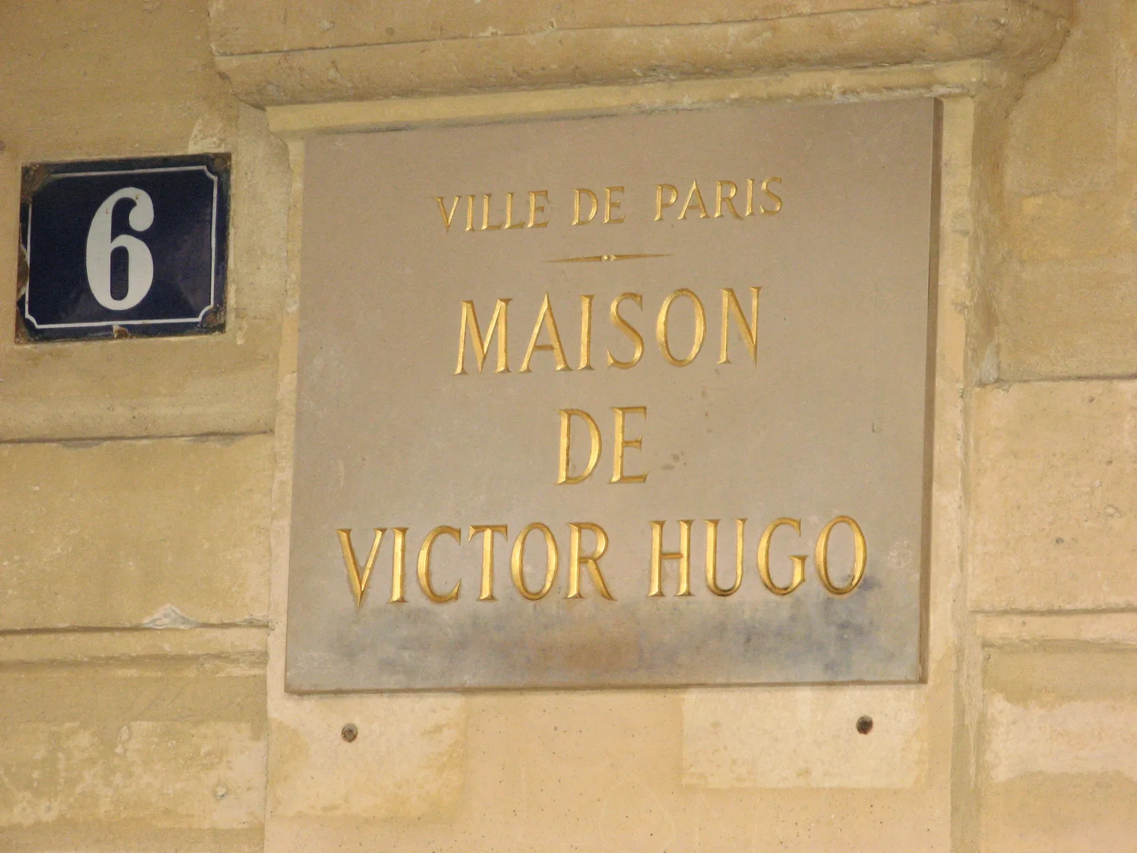
The oldest planned square in the city. Sit under the arcades or on the grass. Victor Hugo’s house, at number 6, is free to visit.
📍Take me thereGoogle MapsApple Maps
How hilly is it?
The whole walk, measured every 100 metres
- rue Saint-Dominique 32 m
- tour Eiffel 35 m
- Pont Neuf 32 m
- le Marais 36 m
- place des Vosges 35 m
- Distance
- 9,0 km
- Climbing
- +33 m
- Descent
- −30 m
- Highest point
- 36 m
- Lowest point
- 29 m
- Steepest stretch
- 2,1 %
under 3 %Heights are drawn 45× taller than the distance, as on any profile.
Flat from end to end: the whole route stays between 29 and 36 metres above sea level, and no stretch is steeper than about 2 %. Comfortable shoes matter more than fitness.
Altitudes: IGN, RGE ALTI · route: OpenStreetMap contributors
What you will see



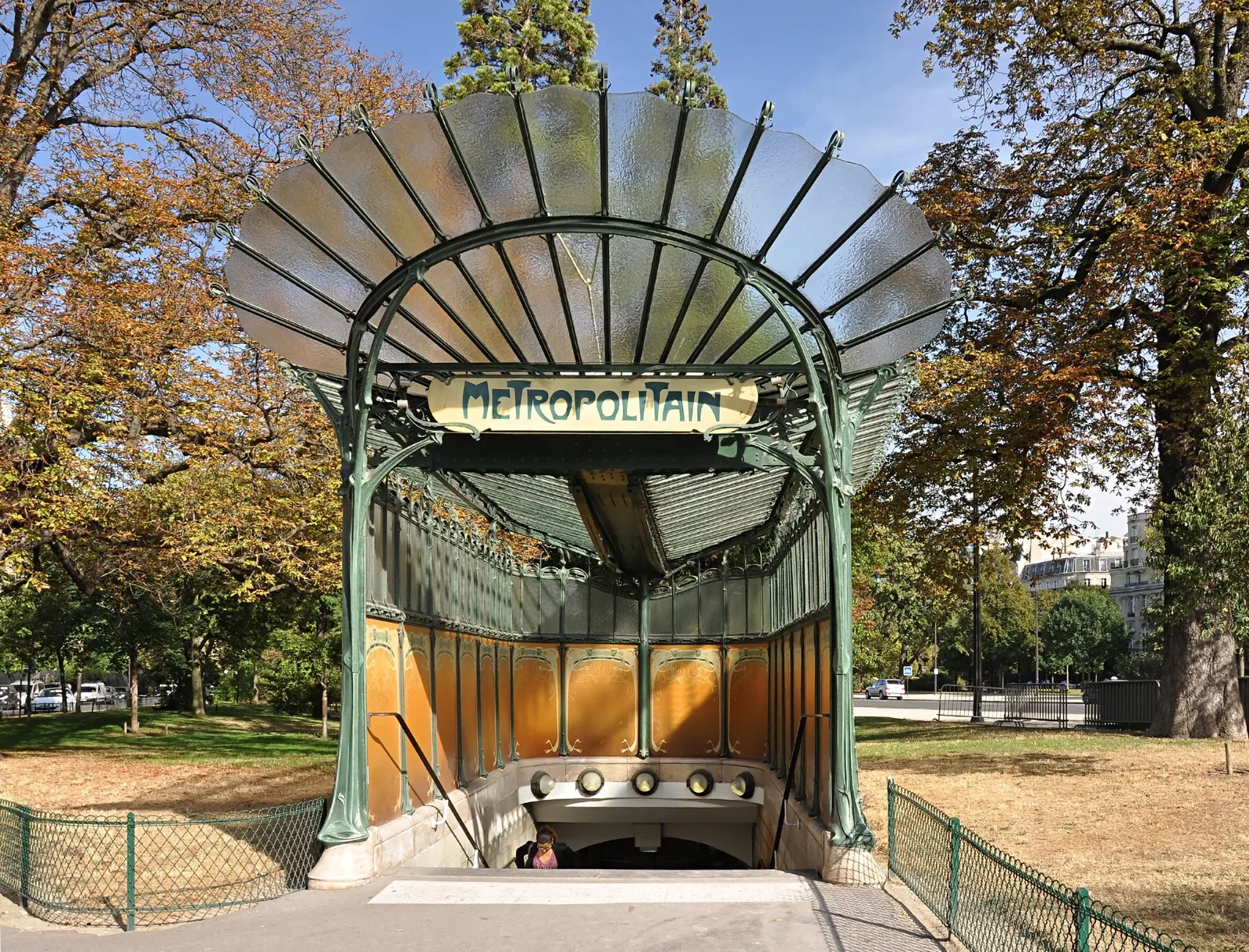

Five things that make the day easier
- Free drinking water
The green cast-iron fountains in the street are safe to drink from. Carry a bottle.
- Tap to ride
Pay for the métro and RER with a bank card or phone at the gates. Routes and disruption are on the RATP planner.
- Free museums
Museums that belong to the city are free for their permanent collections. See what is open today.
- Lunch has hours
Kitchens serve from noon to two. Arrive at three and you will be offered a sandwich.
- Say bonjour first
In every shop, before anything else. It changes how you are served.
- Too far to walk?
Skip the 55-minute stretch: RER C runs from Champ de Mars to Saint-Michel Notre-Dame in about ten minutes.
What to take
0 / 6 packed
How long will it take you?
2 h 159 km
strollingsteadybrisk
Walking time only, at 3, 4 and 5 km/h. The stops are what fill the day.
Book and check
- Eiffel Tower ticketsThe only official seller. Timed tickets for the lifts and the summit.toureiffel.parissite officiel
- RATP journey plannerMétro, RER and bus routes, with live disruption.ratp.frsite officiel
- Paris tourist officeWhat is open today, and current exhibitions.parisjetaime.comsite officiel
- Maison de Victor HugoOpening hours for the house on the Place des Vosges.maisonsvictorhugo.paris.fr
- The route in Google MapsAll five stops in order, with walking directions.google.com